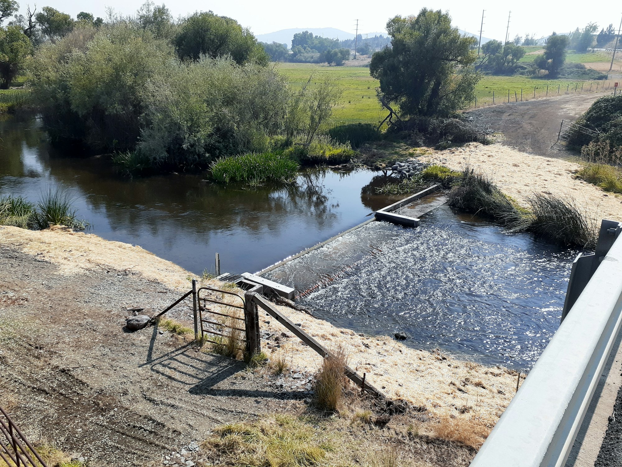
Montague Grenada Weir
.jpg?ixlib=rb-1.1.0&w=2000&h=2000&fit=max&or=0&s=2920e8dac678829a55aade9876cbf08a)

Project Description
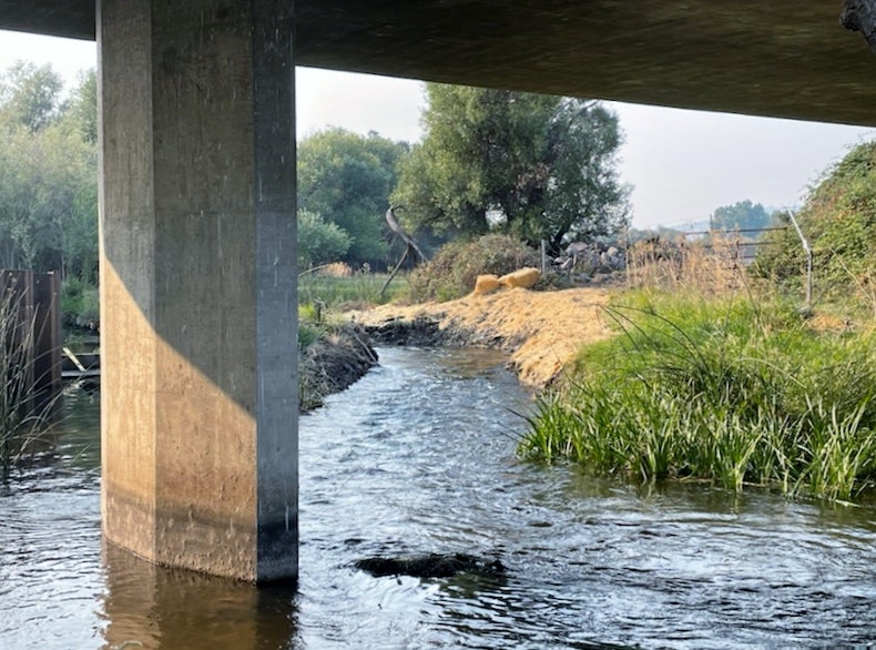
The Montague Grenada Weir, sometimes called the Watermaster Weir, is located on the mainstem of the Shasta River, one mile south of the town of Montague (river mile 14.6). Detailed site investigations found that this channel-spanning concrete measuring weir fails to meet either state or federal standards for upstream migration and movement of salmonids, particularly juveniles.
Over-summering juvenile coho and steelhead must seek cooler water only found upstream of the weir to survive summer water temperatures, but are impeded by the weir’s hydraulic conditions. The hydraulic drop across the weir exceeded NOAA drop height juvenile salmonid criterion at flows of about 260 CFS and lower and for adult salmonid criterion at flows of about 150 CFS and lower. Winter base flows in this portion of the river are often below 200 CFS. Summer flows are frequently below 20 CFS, effectively making this a nearly year-round barrier except during infrequent high water events. Additionally, the concrete weir and apron do not provide the desired pool-weir configuration typical of passage structures for leaping fish.
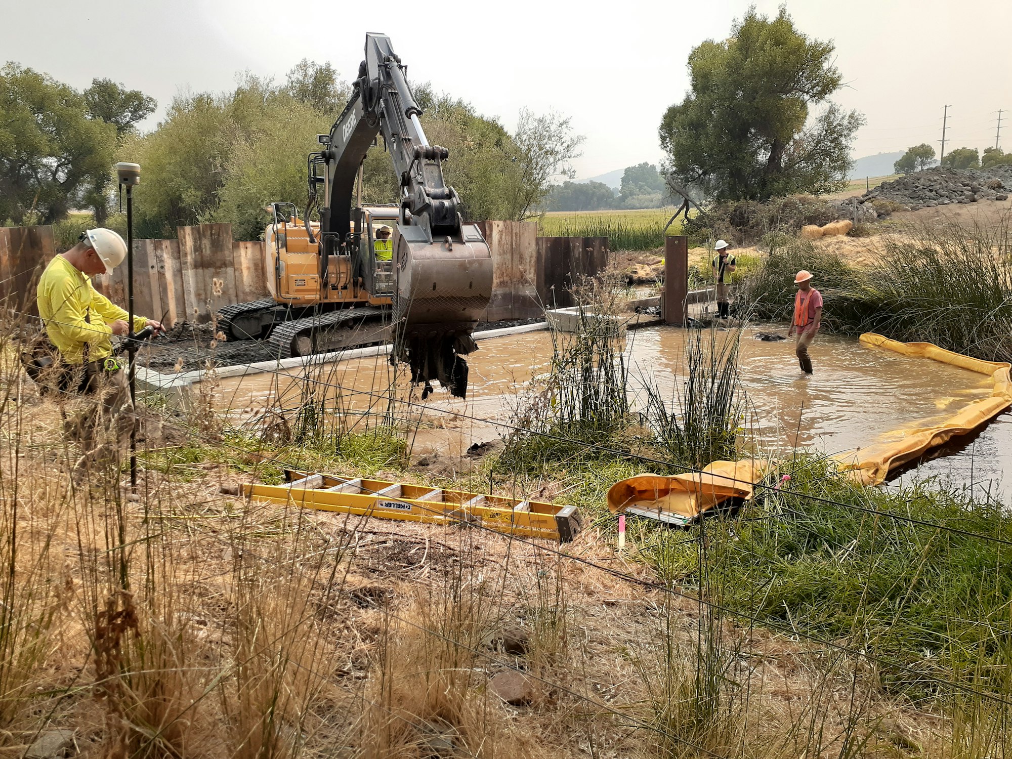
The project modified the existing, in-stream weir which acted as a fish passage barrier. The modification raised the low flow sill to match weir sill elevation, thus removing the in-stream barrier and still maintaining the ability to measure water levels. (These were the two goals of the project.)
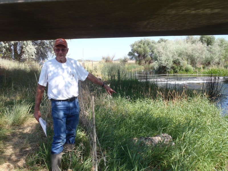
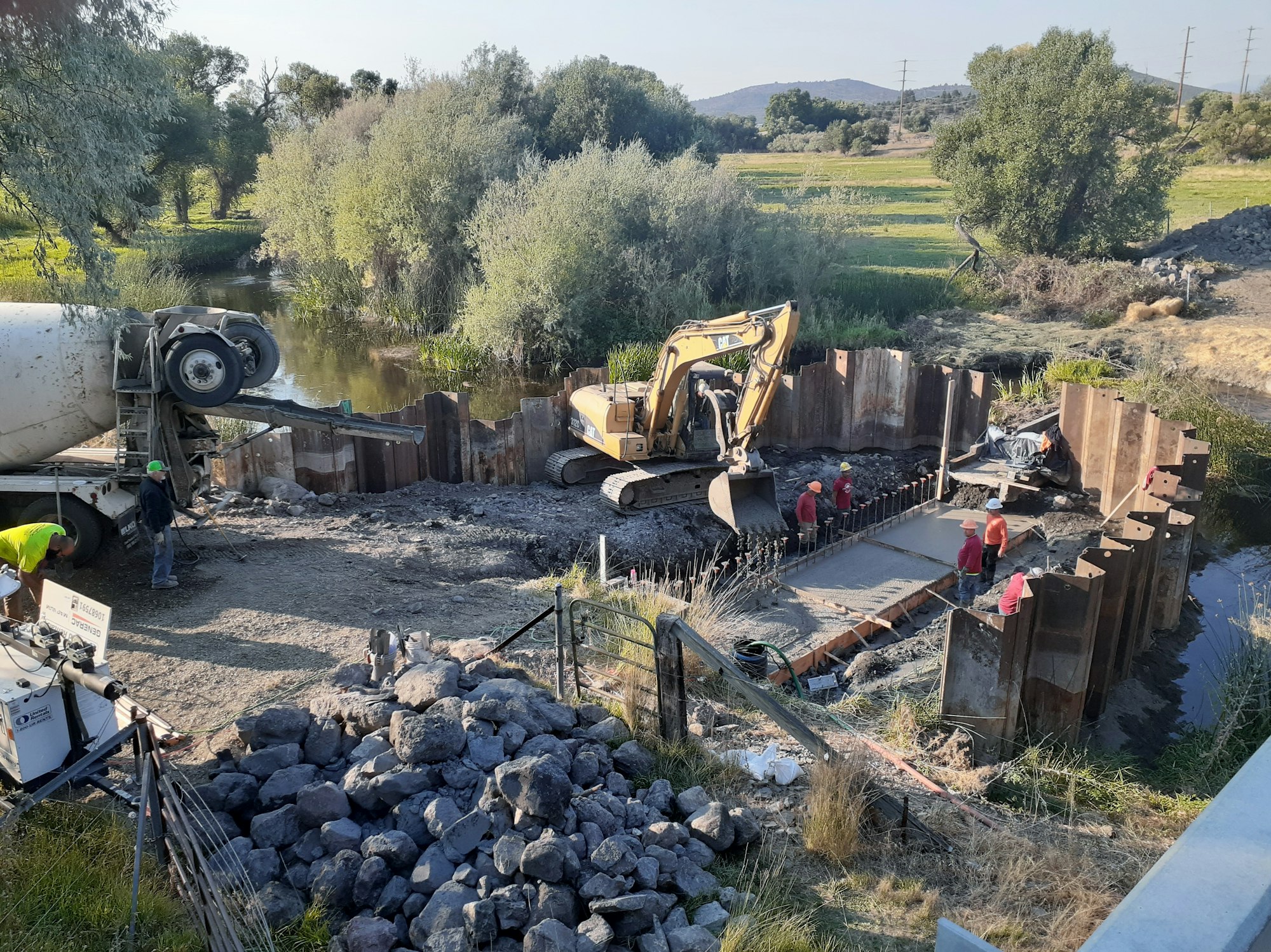
This project was finally constructed and completed in the late summer of 2021. After years of negotiation on design criteria, permit challenges, and funding hurdles, things went smoothly. Due to COVID-related supply costs, USFWS was able to 'save the day', by finding additional funds in June 2021. By October 2021 the weir was fully functional and the USGS gage has been reinstalled. The SVRCD thanks all our partners and funders as well as Don Meamber, landowner extraordinaire.